Hiking tour

Rauher Kopf

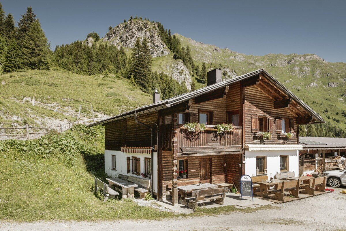
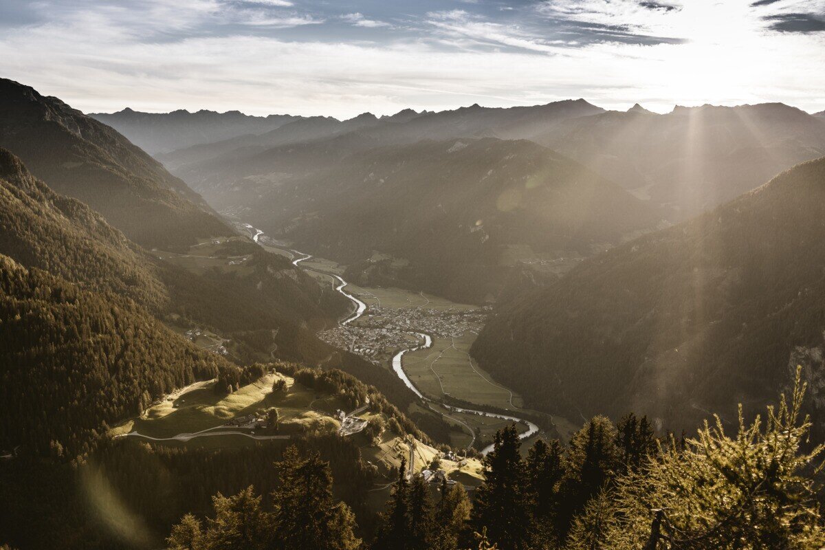
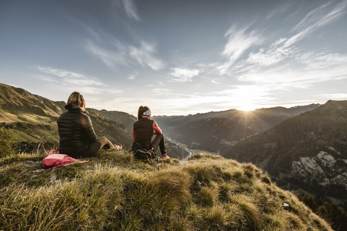
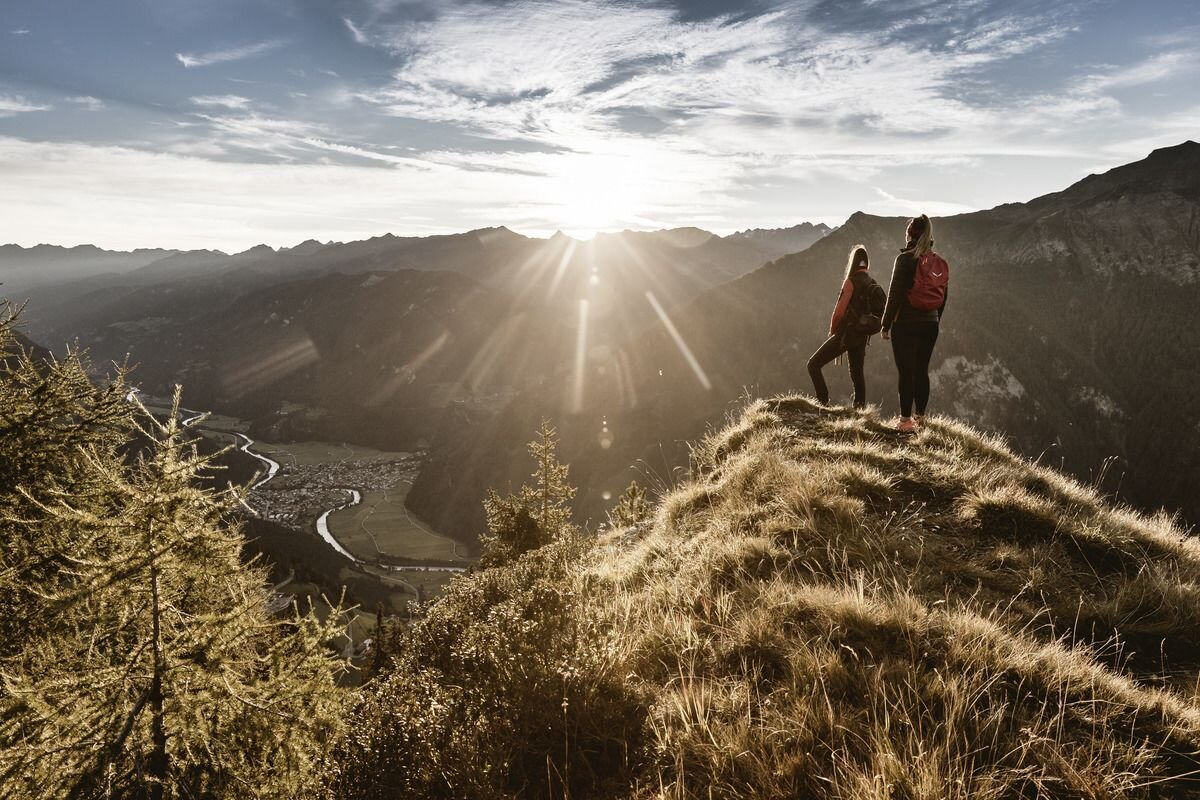
From the parking area near Kobler Alm, the trail first leads through lush alpine meadows up to the hut, where beautiful views of Pfunds and the surrounding mountains already open up. The route then continues past the alm in the direction of Spiss until a path soon branches off to the left into the dense high forest. Following this trail steadily uphill eventually leads to the summit. At the top, hikers are rewarded with an impressive panorama – stretching across the neighbouring Engadin, over Lake Reschen to the mighty Ortler massif, and down to Pfunds.
tour1
3:0h
385m
6.56km
Highest point
2024m
Start point
Kobler Alm | Pfunds
End point
Kobler Alm | Pfunds

Similar Tours

Medium
1100m | 5h | 6km
Medium
581m | 4h | 5.11km
Hiking tour
Aifner Spitze
Begin: Aifner Alm | Kaunerberg
End: Aifner Alm | Kaunerberg
Difficult
1692m | 13.6km
Hiking tour
Über das Wallfahrtsjöchl vom Kaunertal ins Pitztal
Begin: Parkplatz Wallfahrtskirche Kaltenbrunn
End: Eggenstall (St. Leonhard-Pitztal)
Medium
912m | 6.3h | 11.53km
Hiking tour
Lahnkopf
Begin: Parking area Tscheylücke | Pfunds
End: Parking area Tscheylücke | Pfunds
Medium
268m | 1.75h | 3.1km
Hiking tour
Kleine Verpeilrunde
Begin: Verpeilalm
End: Verpeilalm
Difficult
763m | 3.1km
Medium
973m | 6.75h | 9.89km
Hiking tour
Madatschkopf und Mooskopf
Begin: Parkplatz Verpeilalm
End: Parkplatz Verpeilalm
Medium
665m | 7h | 15.7km
Hiking tour
Mataunkopf (& Ganderbildspitze)
End: Nauders